
Transportation
Placer Rides
Placer Rides Transportation Assistance from Seniors First
Placer Rides provides Information and Assistance regarding transportation options and financial assistance for Placer County residents. A listing of non-emergency transportation service providers and a transportation handbook of services throughout Placer County is available in print or digital formats.
Placer County Transportation Planning Agency (PCTPA)
Placer County Transportation Planning Agency
Placer County Transportation Planning Agency (PCTPA) is the forum for making decisions about the regional transportation system in Placer County. The decisions made are reflected in PCTPA’s planning and programming of the area’s state and federal transportation funds. In developing and adopting plans and strategies, we not only make the best use of these funds, but also fulfill the requirements of our state designation as the Regional Transportation Planning Agency (RTPA) for Placer County.

Bike Trails and Corridors
Map your route and explore the City’s trails and bike routes on the Interactive Community Map below.

Public Transit
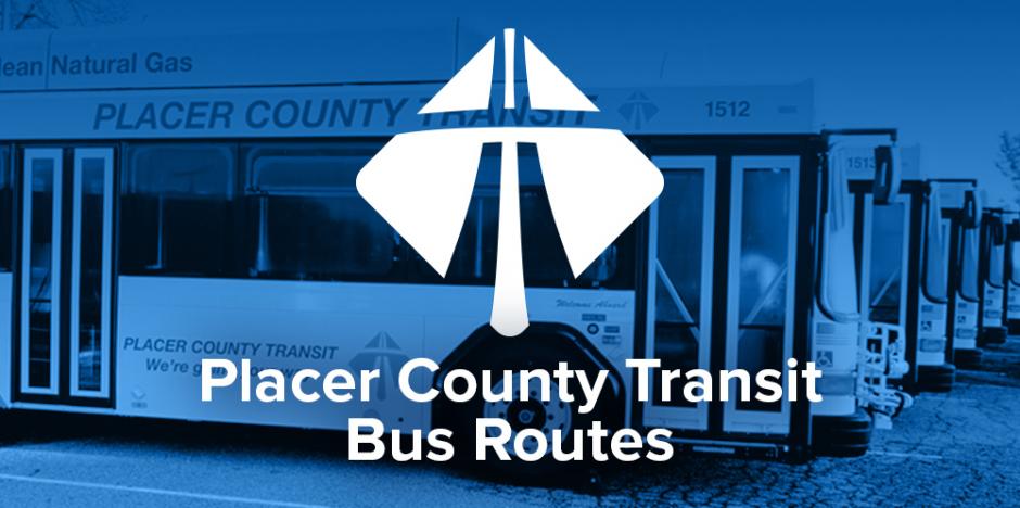
Placer County Transit
Rocklin is served by the Placer County Transit Agency (PCTA) which offers bus service to and from Sacramento.
The PCTA also connects with Regional Transit (RT) which is the major public passenger rail transit system serving the Sacramento Metro Area.
The Placer Commuter Express is a commuter bus that travels along the I-80 corridor from Colfax to downtown Sacramento.
Rail
Passenger
The Rocklin Multimodal Train Station is a permanent building for rail users, located along the Union Pacific Railroad track at the Rocklin Road crossing [map].
Rocklin is served by the Amtrak Capitol Corridor service. Passenger train service is available both westbound and eastbound from Rocklin to Sacramento and the San Francisco Bay Area metro services.
Port
The Port of Sacramento is located 79 nautical miles from the Golden Gate Bridge, San Francisco, to the harbor. It is located 29 miles (27 minutes travel time) from the City of Rocklin.
There is direct trucking access to the Port of Sacramento from Interstate 80. There is a 200-railcar capacity marshalling yard and several railcar tipper and receiving pits inside the terminal. The Port depth is 30 feet.
Highway
Major Highways
The major highways in the area are Interstate 80 and Interstate 5, and State Highways 65, 50, and 99. Major highways connect Rocklin with several major and minor cities in the region (see driving distances).
CalTrans – Department of Transportation maintains information about highways as well as current road conditions. Caltrans also maintains Travel Information Maps for California.
Air
Sacramento International Airport
The Sacramento International Airport (“Sac Metro”) provides passenger and freight service to the Sacramento area.